
Anti-Atlas, the southernmost of the Moroccan mountain ranges
The Anti-Atlas descends to the first dunes and the Sous plain
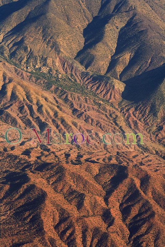
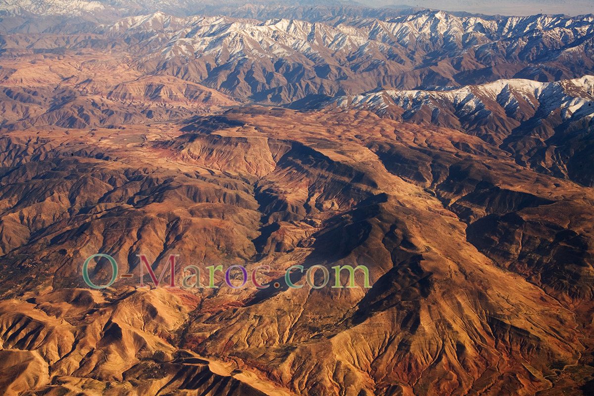
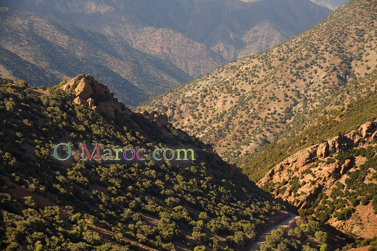
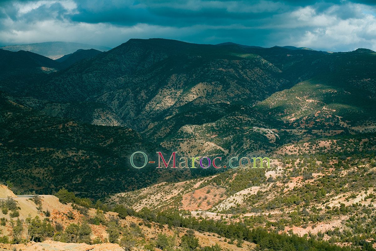
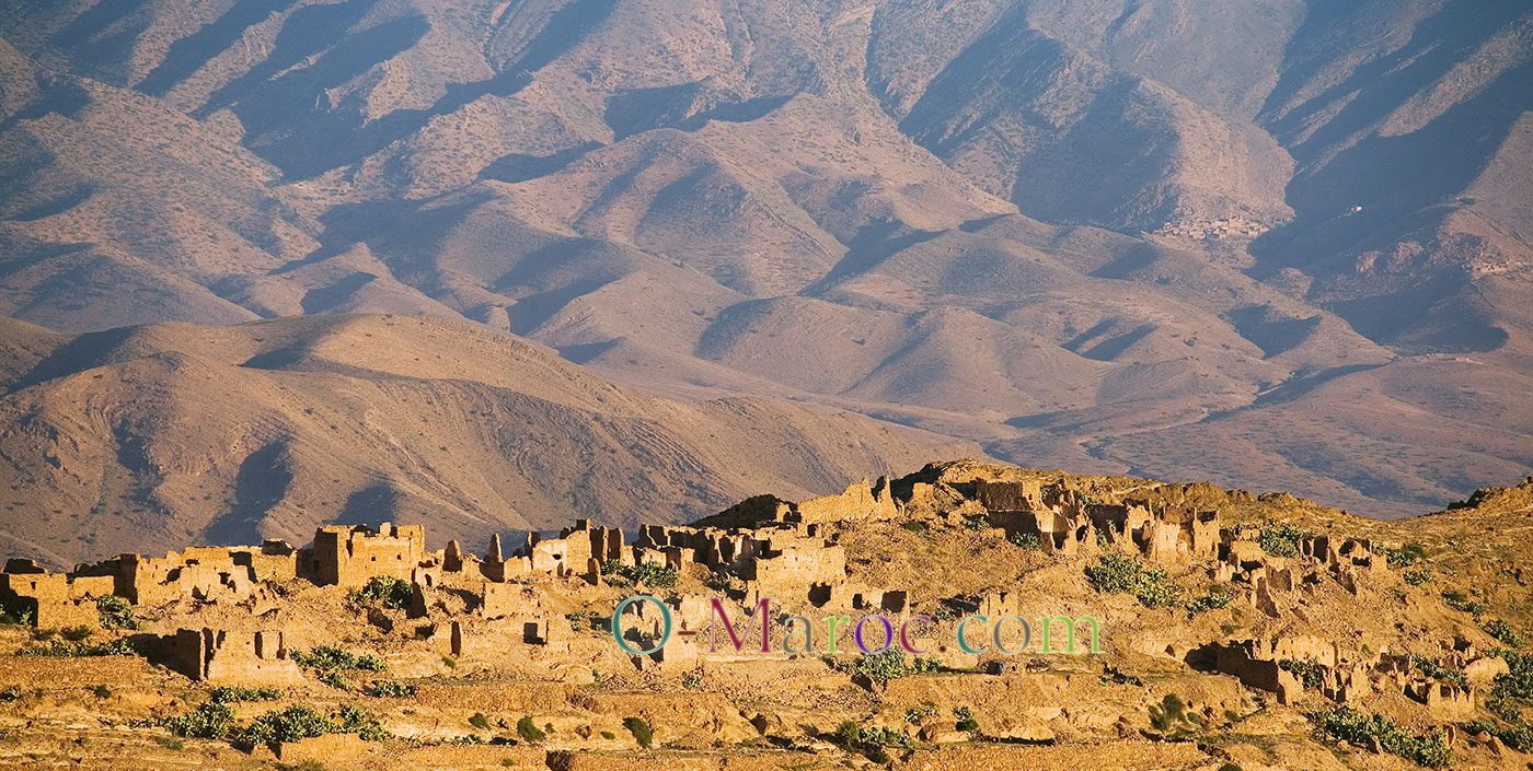
The Anti-Atlas is a long chain of about six hundred kilometres, whose two main massifs are the Siroua in the west, and the Saghro, in the east. As much as the Saghro is an arid, semi-desert massif, the Siroua is home to crops, it is the entrance to the country of the argan tree, the kingdom of the saffron fields and the gateway to the Sous and its fertile plains. The northern highlands (around Taliouine) are about 1,700 metres above sea level, those in the south, which plunge towards the Sahara, barely reach 700 metres. The highest peak is Siroua, at 3,304 metres.
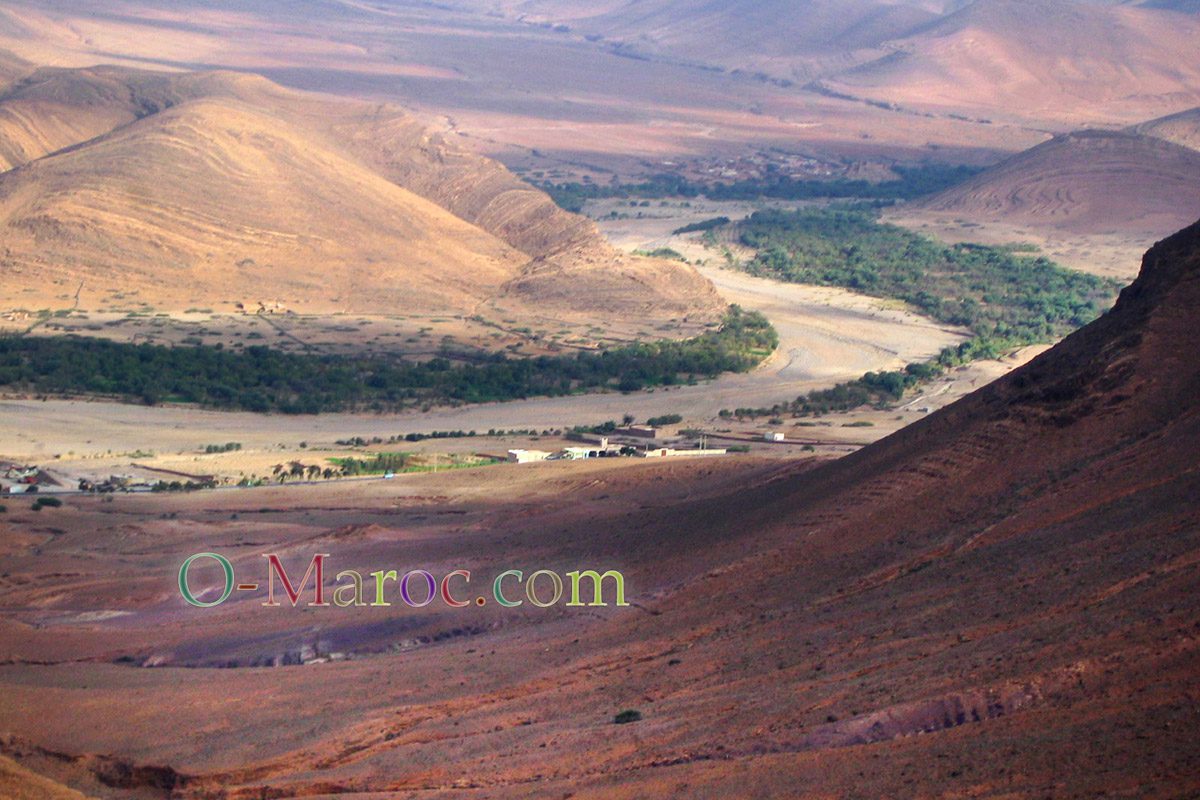
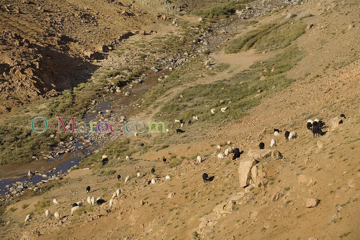
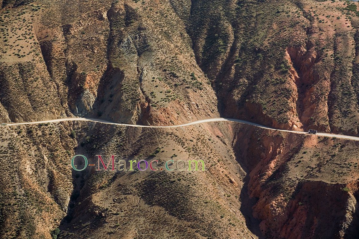
The landscapes are varied, the deep valleys can be very green, it is enough for a river to pass at the bottom, as in the gorges of Aït Mansour, for the oleanders to flower. On the high plateaus the vegetation suffers from both drought and over-intensive grazing, and the transition to the desert landscape is rapid.
The Anti-Atlas is the kingdom of the Chleuhs, one of the large Berber groups of Morocco, who speak the Tachelhit dialect. It was from their name that the Germans were nicknamed during the First World War, as the colonial regiments recalled to the metropole found the two languages sounded alike… and were equally incomprehensible.
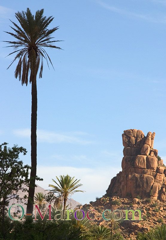
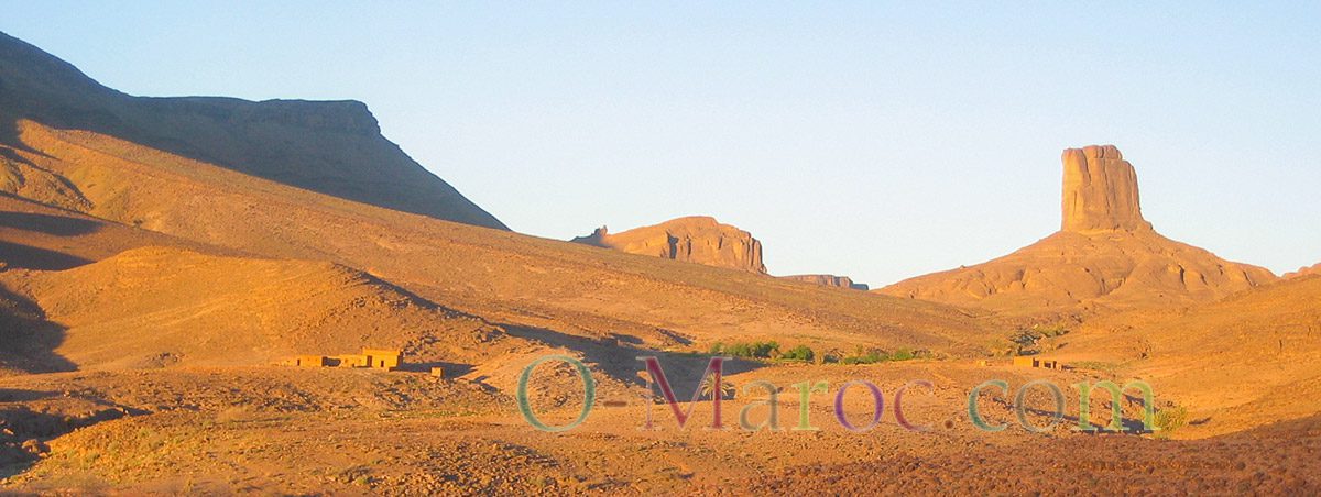
The Saghro with Bab n’Ali and the Sirwa, with Agard’Oudad, present very similar formations.
To visit in the Anti-Atlas:
The main towns
Taliouine is the capital of saffron. This small village on the road between Ouarzazate and Taroudant is welcoming. Nearby, you can do some very nice trekking in the Siroua Jebel, towards Afszimmer or Askaoun.
Taroudant is one of the oldest cities in Morocco. Located in a valley between High and Anti Atlas, it was first a Roman garrison, it was during almost all the history of Morocco the theatre or the stake of confrontations, first between Romans and Berbers, between Berbers, against the Portuguese and Spanish… hence its impressive walls, which circle a now quiet medina.
Tafraoute in the Ammeln valley, offers tourists a beautiful palm grove, with almond and olive plantations. Rock formations such as Agard’Oudad (the phalanx, in Berber) are impressive, and a beautiful goal for excursions.
Tata is the capital of the Chleuhs. Located at the foot of the Djebel Bani, it is already a Saharan city, and a departure point for excursions in the region, towards Guelmin, M’hamid or Foum Zguid.
The Jebel Saghro
The Saghro mountain, to the east, is the territory of the Aït Atta, who still nomadize there. The Tizi n’Tazazert track offers a splendid view of the massif and the surrounding valleys.
The Jebel Sirwa and the saffron country
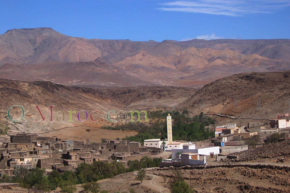
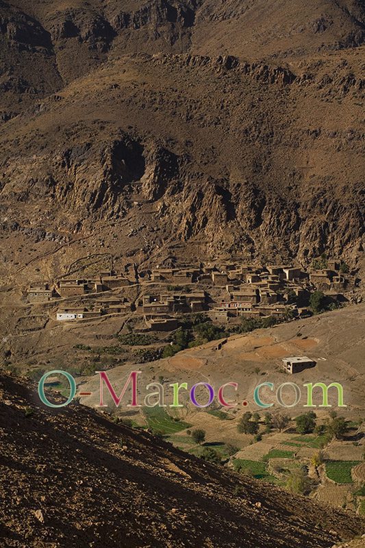
The Sirwa is a happy mountain. Watered enough to be fertile, it is the land of saffron. Its small villages offer beautiful examples of architecture, kasbahs and fortified granaries.
Photo gallery of the Anti-Atlas
Weather and climate in the Anti-Atlas
The Anti-Atlas is located in the Saharan zone. The High Atlas range blocks the arrival of Mediterranean rainfall, the average annual rainfall is below 200 mm. The northern and western slopes are the wettest (“pre-Sous” and the saffron region for example). Snow is rarer than in the High Atlas, and when it falls, it stays for a short time. Nevertheless, at higher altitudes, temperatures can be cold, and the thermal amplitude between night and day important.
.